Year 10 Fieldwork On The River Chess
Despite the pandemic, the GCSE Geography class of 2020 have been on a fieldtrip! On the 15th and 17th of June, we visited 2 sites on the River Chess - Chesham Moor and Scotsbridge Mill. Our aim? To investigate, firsthand, the drainage basin characteristics and flood risks studied in lessons. The Chess is 18km long, falls 60m, and is a chalk based river with an aquifer in Chesham. It is a tributary of the River Colne, which in turn is a tributary of the River Thames. These facts helped to make it an appropriate river to visit, as it is short enough to visit in one day, but long enough to provide contrasting results. In addition, its volume was not too large, making it safe.
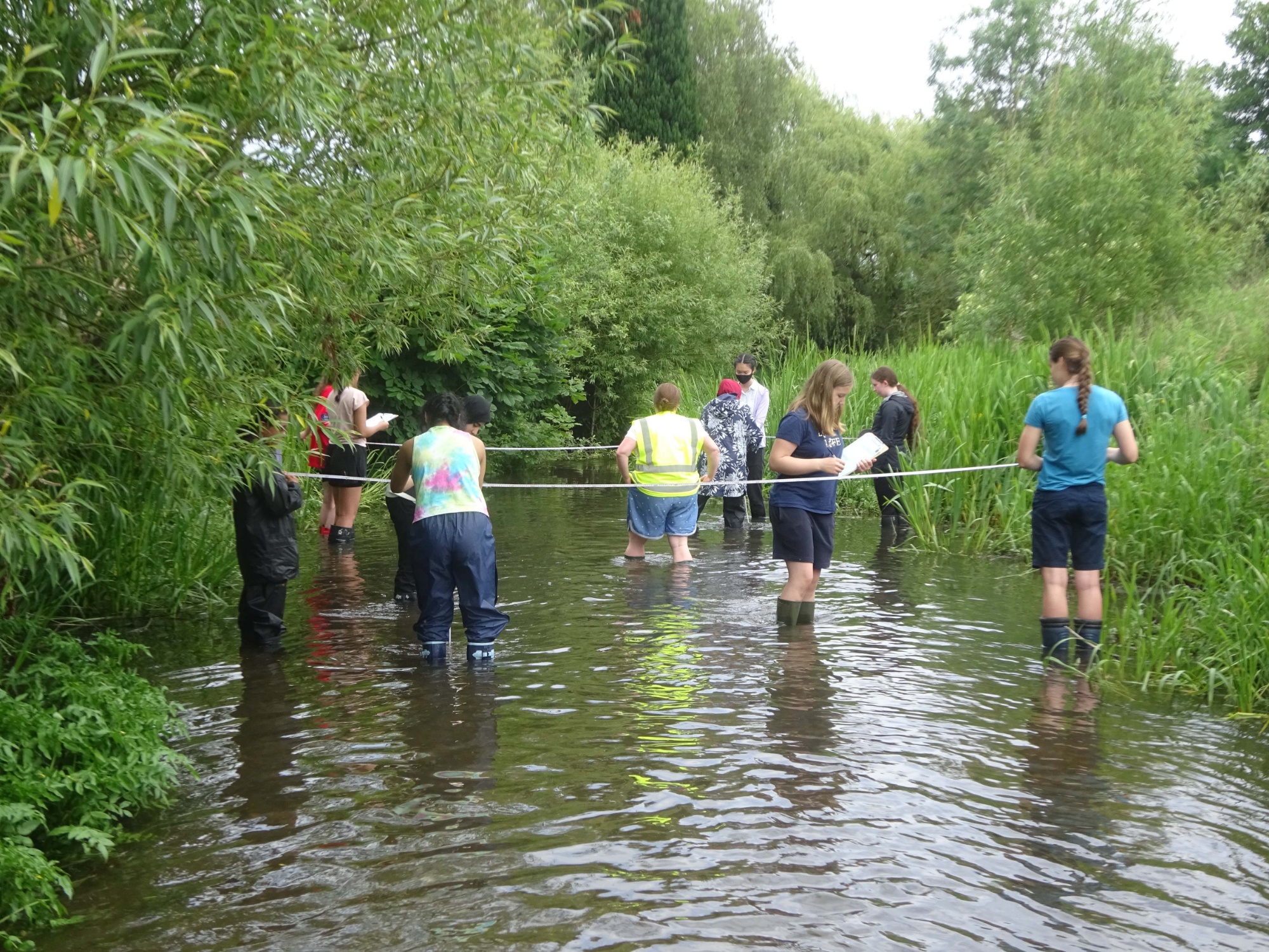
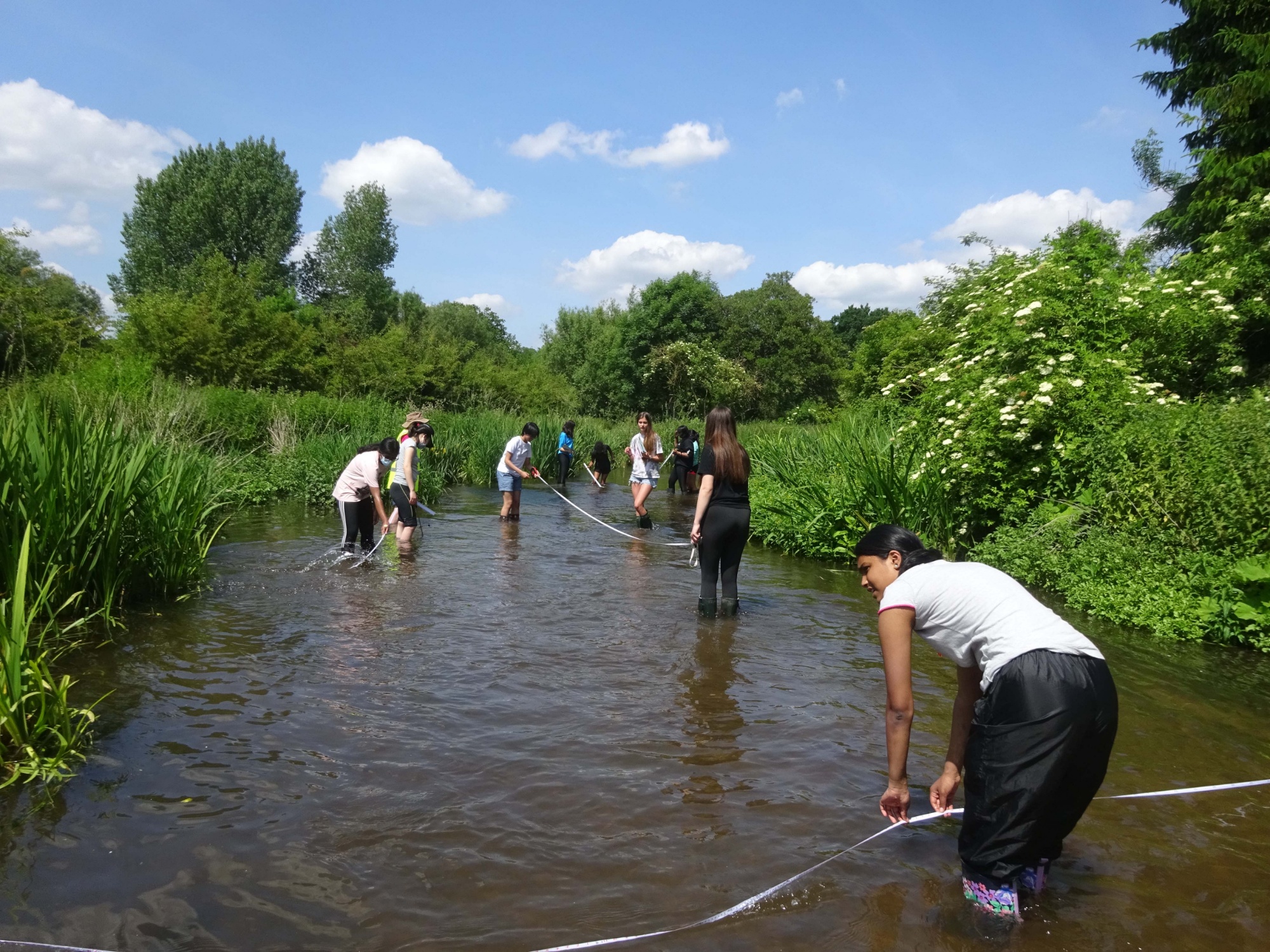
At both sites we measured the width, depth, velocity, bedload size and angularity, and flood risk. We were able to objectively measure most of these, but bedload angularity and flood risk depended on personal opinion. To gain these results, we stood in the river (yes, we got wet!), and used our hands, corks, tape measures, rulers and some specialist equipment, such as hydroprops. The results we gained fitted our hypotheses which we had made before the trip, and the patterns which we had studied in school using the Bradshaw Model.
These hypotheses were:
- The velocity will increase with distance downstream;
- The bedload roundness of the river will increase downstream;
- The bedload size will decrease downstream;
- Flood risk will be affected further downstream
We were able to discuss why these changes may have taken place, using different graphs drawn from the extra data as help.
We found that, although this may have fit the secondary data, the flood risk was a fascinating anomaly, due to the placement of urban areas. While flood risk is normally greater in the lower course of a river, we found that it was different at the River Chess, as urbanisation is greater here, meaning that there were more impermeable surfaces, causing water to reach the river quickly. We were also able to see some of the flood-management strategies which we had previously learnt about in class, such as artificially heightened Levees, and concrete walls. It also allowed us to see that the river was very different, even in a space of 20m, as all groups gained different results, due to being slightly further upstream or downstream. Back at home, we averaged the data to make it more accurate.
We were also able to use data provided by the Environment Agency and previous year groups to contrast with our data, and see whether it was accurate, and how the river has changed over time, and even the possible consequences of climate change.
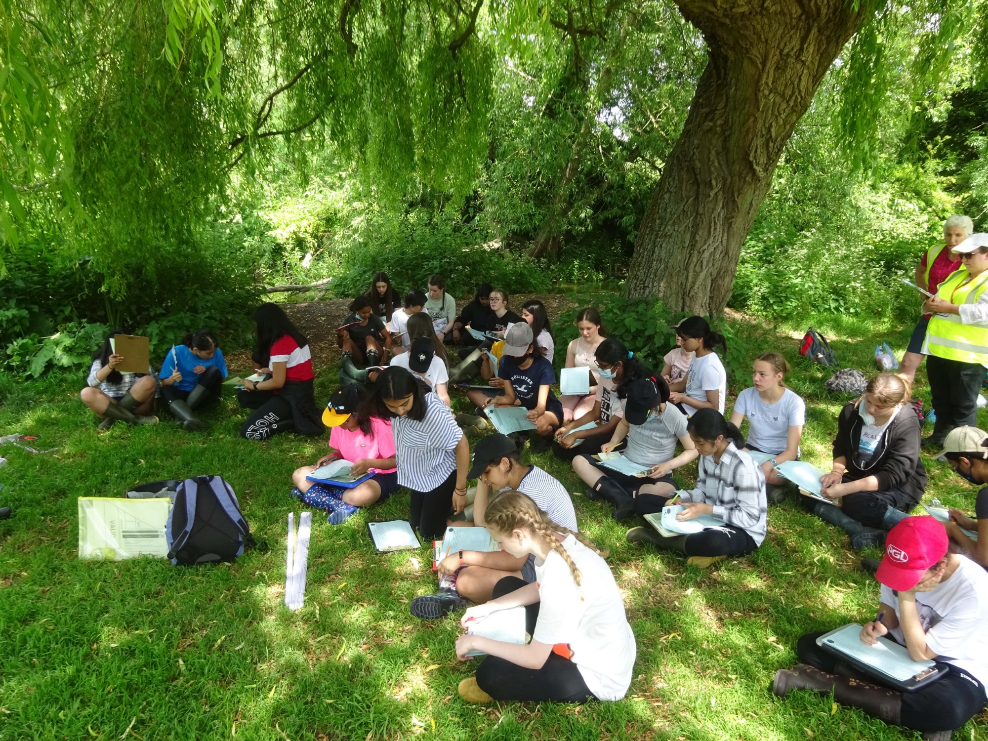
All of us enjoyed the trip, as it was an interesting day spent complementing previous knowledge, and simply being in nature after a year indoors. We were able to see some rarer flora and fauna such as water forget-me-nots and mayfly eggs, showing the River Chess to be a healthy river.We especially want to thank all the staff who made this adventure possible. Firstly, Mrs Brunsdon whose passion for trips brought her back to school to join us on this one. Of course, Mrs Dunlop and Mrs Wheeler, as supremely organised and enthusiastic as ever, as well as Izzy and Jess, our guides from the FSC (Field Studies Council), who were able to show us locations to access the river, tell us more about the surrounding areas and wildlife, and provide us with equipment. They explained to us in detail the different techniques needed to get accurate and reliable results. Thanks to them, we accessed the river in a safe and environmentally friendly way, without damaging ourselves or the wildlife surrounding it.
And thank you for taking the time to read all about some of our most exciting days of the year!
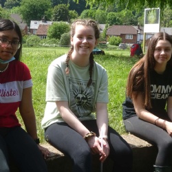
By Bryony, Rebecca and Rowena